MapWindow GIS Open Source Software
Sponsors
<-- Free GIS Software & Resources
See Also:
Free ArcGIS Shapefiles, Free Maps, Google Earth & Maps, Free GPS, Satellite and Aerial, GIS Tutorials.
MapWindow GIS Open Source Software
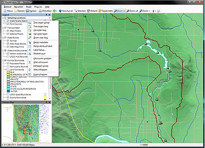
The MapWindow application is a free, extensible, geographic information system (GIS) that can be used:
- As an alternative desktop GIS
- To distribute data to others
- To develop and distribute custom spatial data analyses
MapWinGIS ActiveX Control
At the core of the MapWindow application is the MapWinGIS ActiveX control. Using this control, you can program custom mapping functionality directly into your own software.
- Open source component (free distribution)
- Complete GIS API for shapefile and grid data
- Many built in GIS functions
What makes this GIS tool different than the others?
MapWindow is Open Source so you Can develope Plugins Like this! MapWindow is free to use and redistribute to your clients and other end users.
Sponsors
Unlike other free tools, MapWindow is more than just a data viewer, it is an extensible geographic information system. This means that you can write plug-ins to add additional functionality (models, special viewers, hot-link handlers, data editors, etc.) and pass these along to any number of your clients and end users.
MapWindow includes standard GIS data visualization features as well as DBF attribute table editing, shapefile editing, and grid importing and conversion.
MapWinGIS ActiveX includes a GIS API for shapefile and grid data with many built in GIS functions.
MapWinGIS ActiveX can be redistributed royalty-free. No fee is required, although we happily accept donations to help support this effort.
Visit the MapWindow Website.
Sponsors
<-- Free GIS Software & Resources
See Also:
Free ArcGIS Shapefiles, Free Maps, Google Earth & Maps, Free GPS, Satellite and Aerial, GIS Tutorials.
Didn't find what you are looking for? We've been online since 1996 and have created 1000's of pages. Search below and you may find just what you are looking for.
Michael R. Meuser
Data Research & GIS Specialist
MapCruzin.com is an independent firm
specializing in GIS project development and data research.
We created the first U.S. based
interactive toxic chemical facility
maps on the internet in 1996 and we
have been online ever since. Learn more about us and our services.
Have a project in mind? If you have data, GIS project or custom shapefile needs contact Mike.
Contact Us
Report Broken Links
Subscribe for Updates
| 


