GIS Shapefile Store - for Beginners & Experienced GIS Users Alike. Geographic Names Information System, Nuclear Facilities, Zip Code Boundaries, School Districts, Indian & Federal Lands, Climate Change, Tornadoes, Dams - Create digital GIS maps in minutes.
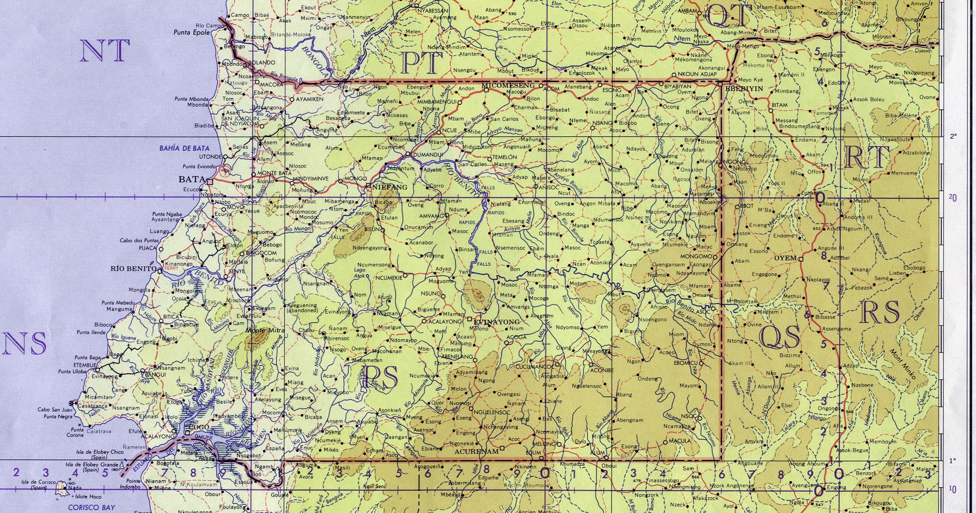
Bioko Island (Tactical Pilotage Chart) Original scale 1:500,000. Portion of Defense Mapping Agency Series TPC, Sheet L-3D, Edition 1, 1996 [Compiled March 1995, air information current through 6 October 1995]. (264K) Not for navigational use
Didn't find what you are looking for? We've been online since 1996 and have created 1000's of pages. Search below and you may find just what you are looking for.
Michael R. Meuser
Data Research & GIS Specialist
MapCruzin.com is an independent firm
specializing in GIS project development and data research.
We created the first U.S. based
interactive toxic chemical facility
maps on the internet in 1996 and we
have been online ever since. Learn more about us and our services.
Have a project in mind? If you have data, GIS project or custom shapefile needs contact Mike.


![1:1,000,000 - Fernando Poo [Bioko Island]](/free-maps-equatorial-guinea/fernando_poo_1963.jpg)