Download Free South and Central America, The Caribbean and Atlantic Islands Historical Maps
Sponsors
<-- Return to Main Free Maps Download Page
<-- Return to Free Historical Maps Page
Map of America by Diego Guti?rrez 1562 (Library of Congress Geography and Map Division/American Memory)
American Revolution and Its Era: Maps and Charts of North America and the West Indies, 1750-1789 (Library of Congress Geography and Map Division/American Memory)
Bay of Pigs 1961 (Cryptome.org)
Bermuda 1626 [North Atlantic] (University of Minnesota)
Colombia and Panama 1640 (University of Minnesota)
Cusco/Cuzco - Historical Maps (Historic Cities)
Falklands Invasion 1982 (U.S. Military Academy, West Point)
Galapagos Islands Maps (John Woram)
Grenada Invasion 1983 (U.S. Military Academy, West Point)
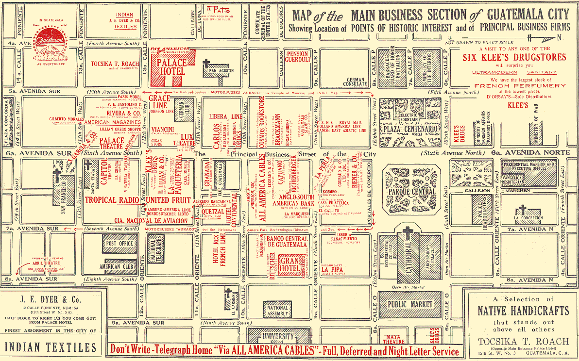
Guatemala City circa 1950 - Main Business District (University of California at Berkeley)
Havana Harbor, Cuba 1790 (Library of Congress Geography and Map Division/American Memory)
Hispaniola Map by Christopher Columbus 1492-93 (Jim Siebold)
Latin America - Historical Maps (University of Florida)
Netherlands Antilles and Suriname - Historical Maps (KIT Library, Royal Tropical Institute)
Panama Invasion 1989-90 (U.S. Military Academy, West Point)
Puerto Rico Historical Maps (Library of Congress Geography and Map Division/American Memory)
S?o Paulo 1913 (Library of Congress Geography and Map Division/American Memory)
Spanish-American War - Maps (RootsWeb)
Spanish-American War - Maps (U.S. Military Academy, History Department)
West Indies 1774 (Library of Congress Geography and Map Division/American Memory)
West Indies - Goff's Historical Map of the Spanish-American War in the West Indies, 1898 (Library of Congress Geography and Map Division/American Memory)
More Links to Images of Early Maps - South & Central America, and the West Indies (Map History / History of Cartography Site)
<-- Return to Main Free Maps Download Page
<-- Return to Free Historical Maps Page
About Quality, Accuracy and Suitability
 These GIS software tools, programs and resources come from a variety of U.S.
government and private
sources. While we try to assure the accuracy of
this material, we cannot promise that it is
absolutely accurate. We do promise that using what you find here will be fun, entertaining or educational - perhaps even frustrating.
Beyond this, we make no guarantee as to its
suitability for any purpose. We assume no liability
or responsibility for errors or inaccuracies. Please
understand that you use these tools, programs and resources at your own
risk.
These GIS software tools, programs and resources come from a variety of U.S.
government and private
sources. While we try to assure the accuracy of
this material, we cannot promise that it is
absolutely accurate. We do promise that using what you find here will be fun, entertaining or educational - perhaps even frustrating.
Beyond this, we make no guarantee as to its
suitability for any purpose. We assume no liability
or responsibility for errors or inaccuracies. Please
understand that you use these tools, programs and resources at your own
risk.
Thanks,
Didn't find what you are looking for? We've been online since 1996 and have created 1000's of pages. Search below and you may find just what you are looking for.
Michael R. Meuser
Data Research & GIS Specialist
MapCruzin.com is an independent firm
specializing in GIS project development and data research.
We created the first U.S. based
interactive toxic chemical facility
maps on the internet in 1996 and we
have been online ever since. Learn more about us and our services.
Have a project in mind? If you have data, GIS project or custom shapefile needs contact Mike.
Contact Us
Report Broken Links
Subscribe for Updates
Sponsors


