Interactive World Trade Maps
Sponsors
<-- GIS and Mapping News
<-- Free GIS Shapefiles
<-- Free Maps
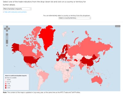
World Trade Organization (WTO) Trade Maps. Select geography by country/territory and/or indicators including: trade per capita, trade to GDP ratio, merchandise exports, merchendise imports, commercial service exports and commercial service imports.
Access Trade Maps
Sponsors
<-- GIS and Mapping News
<-- Free GIS Shapefiles
<-- Free Maps
Didn't find what you are looking for? We've been online since 1996 and have created 1000's of pages. Search below and you may find just what you are looking for.
Michael R. Meuser
Data Research & GIS Specialist
MapCruzin.com is an independent firm
specializing in GIS project development and data research.
We created the first U.S. based
interactive toxic chemical facility
maps on the internet in 1996 and we
have been online ever since. Learn more about us and our services.
Have a project in mind? If you have data, GIS project or custom shapefile needs contact Mike.
Contact Us
Report Broken Links
Subscribe for Updates


