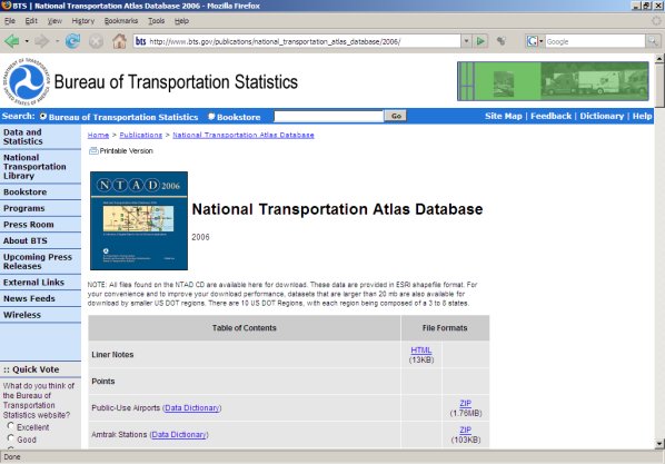
Downloading BTS Map Layers
Note: All of the BTS files listed below are available on CD from BTS. Click here for more information.
Click here to download any of the following BTS "background" map layers (As of 091506 the above was still available, but recently many things have been removed from this website. If you can no longer find this data, please email me at [email protected] and I will make our archived copies of this data available to you.):
Points
- Public-Use Airports
- Amtrak Stations
- Automatic Traffic Recorder Stations
- National Populated Places
- U.S. Army Corps of Engineers Ports
- Intermodal Terminal Facilities
- Weigh in Motion Stations
Polyline
- Hazardous Material Routes
- Highway Performance Monitoring System
- Railway Network (1:2,000,000 base scale)
- United States (line)
- United States (node)
- Public Use Airport Runways
- Fixed-Guideway Transit Facilities
- U.S. Army Corps of Engineers Navigable Waterway Network
- United States (line)
- United States (node)
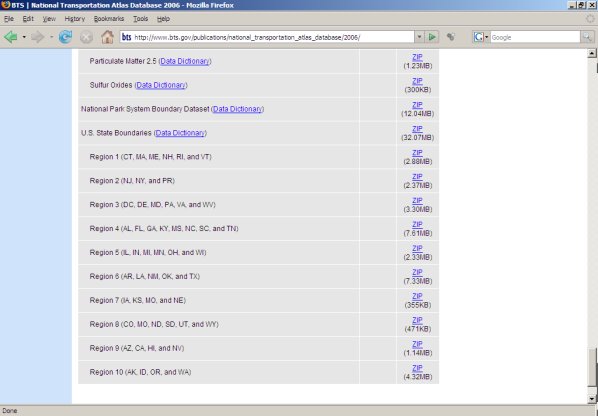
Polygons
- Bureau of the Census Urbanized Area Boundaries (1:100,000 base scale)
- The 109th Congressional Districts Boundaries (1:100,000 base scale)
- U.S. County Boundaries (1:100,000 base scale)
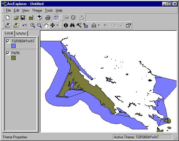
- Hydrographic Features
- United States (line) (Data Dictionary)
- United States (polygon/arc)
- U.S. Military Installations
- Metropolitan Planning Organization
- National Metropolitan Statistical Areas (1:100,000 base scale)
- Non Attainment Areas
- Carbon Monoxide
- Lead (Data Dictionary)
- Nitrogen Dioxide
- Ozone
- Particulate Matter 10
- Particulate Matter 2.5
- Sulfur Oxides
- National Park System Boundary Dataset
- U.S. State Boundaries
Downloading National Atlas Map Layers
Click here to download the following National Atlas map layers. Before you download, you can read a detailed description of the layer(s) that interest you. Be sure to click on the "shapefile" to download. Note that the atlas is being "built" on an ongoing basis. New map layers are added continually so check the National Atlas page often if you are interested in this material.
- Agriculture Census
- Average Annual Precipitation
- Breeding Bird Survey Routes of North America
- Cancer Mortality
- Coal Fields of the United States
- Crimes
- Dams
- Hurricane and Cyclone Tracks
- Hydrologic Unit Boundaries
- Landslide - Costly Events
- Magnetic Field-Declination Component
- Mineral Operations - Various
- Mortality
- Parkways and Scenic Rivers
- Principal Aquifers
- Public Land Survey System
- Earthquakes
- Time Zones
- Urban Areas
- Volcanoes
- Water Features
Check back frequently for more layers
Continue --> 6. FREE GIS RESOURCES


 There are several free sources for additional layers in shapefile format that will work with ArcExplorer and can be added as themes to any map you are working on. Check the sources