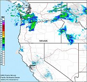
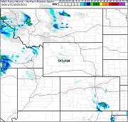
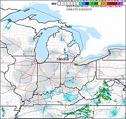
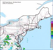
National Weather Service Enhanced Radar Mosaic Loop Maps
<-- Return to main Free Maps Download Page
<-- Extreme Weather & Disaster Maps, Resources and GIS Shapefiles
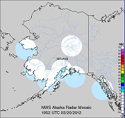 | Alaska Radar Loop Maps - Individual Map Loops for: Nome, Pedro Dome, Bethel, King Salmon, Kenai, Middleton Island, Biorka Island |
<-- Return to main Free Maps Download Page
<-- Extreme Weather & Disaster Maps, Resources and GIS Shapefiles
About Quality, Accuracy and Suitability
 These GIS software tools, programs and resources come from a variety of U.S.
government and private
sources. While we try to assure the accuracy of
this material, we cannot promise that it is
absolutely accurate. We do promise that using what you find here will be fun, entertaining or educational - perhaps even frustrating.
Beyond this, we make no guarantee as to its
suitability for any purpose. We assume no liability
or responsibility for errors or inaccuracies. Please
understand that you use these tools, programs and resources at your own
risk.
These GIS software tools, programs and resources come from a variety of U.S.
government and private
sources. While we try to assure the accuracy of
this material, we cannot promise that it is
absolutely accurate. We do promise that using what you find here will be fun, entertaining or educational - perhaps even frustrating.
Beyond this, we make no guarantee as to its
suitability for any purpose. We assume no liability
or responsibility for errors or inaccuracies. Please
understand that you use these tools, programs and resources at your own
risk.
Thanks,
Didn't find what you are looking for? We've been online since 1996 and have created 1000's of pages. Search below and you may find just what you are looking for.
Michael R. Meuser
Data Research & GIS Specialist
MapCruzin.com is an independent firm
specializing in GIS project development and data research.
We created the first U.S. based
interactive toxic chemical facility
maps on the internet in 1996 and we
have been online ever since. Learn more about us and our services.
Have a project in mind? If you have data, GIS project or custom shapefile needs contact Mike.
Contact Us
Report Broken Links
Subscribe for Updates