Download Free North Carolina Wind Energy Maps
Sponsors
<-- Free Map Downloads
<-- Renewable Energy Maps & Shapefiles
<-- 50 Meter Wind Energy State Maps
<--  80 Meter Wind Energy State Maps 80 Meter Wind Energy State Maps
Note that maps may not appear on the webpage in their full size and resolution. These maps may be useful for alternative and renewable green energy research and education.
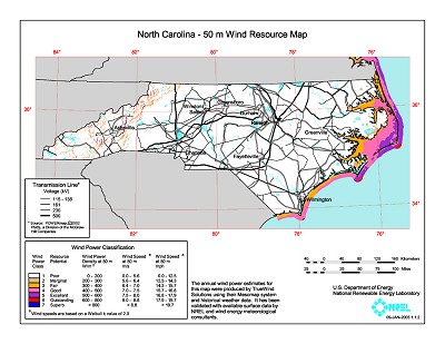
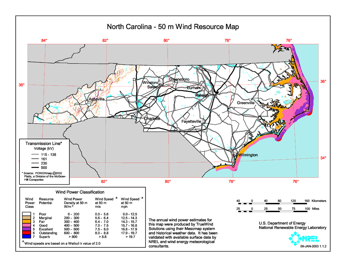
North Carolina wind map shows the wind energy resource at 50 meters. You can view a larger version or download a printable map (PDF 2.5 M)
Source: U.S. DOE Wind Powering America.
Sponsors
<-- Free Map Downloads
<-- Renewable Energy Maps & Shapefiles
<-- 50 Meter Wind Energy State Maps
<-- 80 Meter Wind Energy State Maps
Didn't find what you are looking for? We've been online since 1996 and have created 1000's of pages. Search below and you may find just what you are looking for.
Michael R. Meuser
Data Research & GIS Specialist
MapCruzin.com is an independent firm
specializing in GIS project development and data research.
We created the first U.S. based
interactive toxic chemical facility
maps on the internet in 1996 and we
have been online ever since. Learn more about us and our services.
Have a project in mind? If you have data, GIS project or custom shapefile needs contact Mike.
Contact Us
Report Broken Links
Subscribe for Updates
| 


