GIS Shapefile Store - for Beginners & Experienced GIS Users Alike. Geographic Names Information System, Nuclear Facilities, Zip Code Boundaries, School Districts, Indian & Federal Lands, Climate Change, Tornadoes, Dams - Create digital GIS maps in minutes.
Recently EPA released their myRTK application for mobile devices. Here are some screentshots along with brief descriptions. Learn more about myRTK.
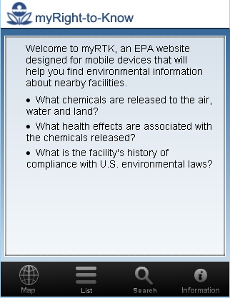
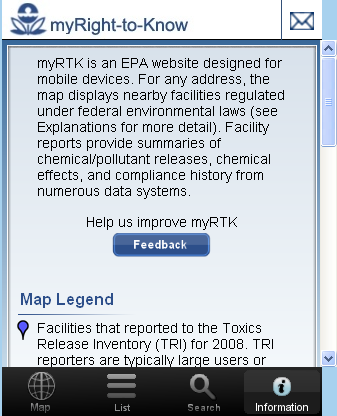
myRTK Introductory screen.
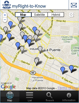
My search of "City of Industry, CA" returned this google map.
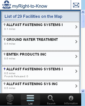
A click on the list button produced a list of the 29 facilities on the map.
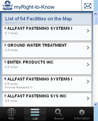
Going back to the original map and zooming out resulted in many more facilities.
Now many more facilities are listed. The list always reflects the facilities show on map.
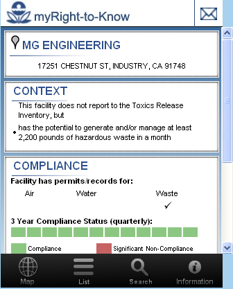
One way to view information about a facility is to click on the arrow to the right of its name. Doing so results in this screen.
From the map you can also click on a facility and a balloon will open with its name and a link to follow.
Clicking on the link in the balloon results in this facility information.
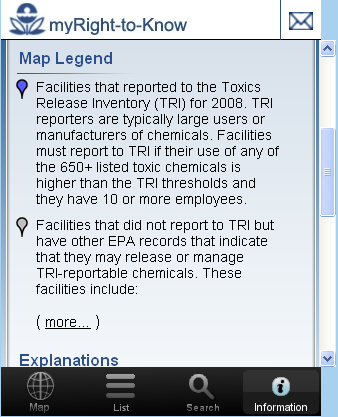
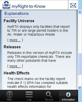
This screen appears as a result of clicking on the "info" button. The balance of the screenshots show the complete contents of the screen as it is scrolled.
Didn't find what you are looking for? We've been online since 1996 and have created 1000's of pages. Search below and you may find just what you are looking for.
Michael R. Meuser
Data Research & GIS Specialist
MapCruzin.com is an independent firm
specializing in GIS project development and data research.
We created the first U.S. based
interactive toxic chemical facility
maps on the internet in 1996 and we
have been online ever since. Learn more about us and our services.
Have a project in mind? If you have data, GIS project or custom shapefile needs contact Mike.